Parking and travel
The University of Leeds campus is a single site located within walking distance of Leeds’ centre and has excellent public transport connections.
On-campus parking is not available on weekdays except for blue badge holders. On weekends, there is limited on-campus parking.
By car
Our convenient location means we’re within easy reach of a number of city centre car parks. Use the Visit Leeds car parking guide for a full list of city car parks, opening times, and total spaces.
The locations of the closest city car parks are:
- Woodhouse Moor car parks: LS6 1AQ. what3words for Woodhouse Moor car parks: ///serves.camera.laser
- Woodhouse Lane multi-storey: LS2 3AX. what3words for Woodhouse Lane multi-storey car park: ///loads.gift.answer
- Merrion Centre (CitiPark): LS2 8BT. what3words for Merrion Centre (CitiPark): ///zebra.thus.relate
- St Johns Centre (Q-Park): LS2 8LQ. what3words for St Johns Centre (Q-Park): ///modes.oasis.tone
- The Light (Q-Park): LS1 8TL. what3words for The Light (Q-Park): motor.skip.artist
When planning your journey, we recommend you check Leeds City Council roadworks and closures information.
On-campus parking
Outside core parking hours (7am to 5pm Monday to Friday), our Orange Zone visitor car parks, including the University’s multi-story car park, are open to the public, and you can pay at a pay station before you leave. See our public parking tariff page for more information.
Parking for blue badge holders
We have limited spaces reserved for disabled visitors. If you are a blue badge holder and require parking, please email campusvisits@leeds.ac.uk.
To guarantee blue badge parking, you must submit your request more than 48 hours before an event.
Park and ride
There is a park and ride service that runs from Stourton with capacity for 1,200 vehicles. Parking is free, with journey times of 10-15 minutes into the city centre. To navigate to this park and ride facility, please use the postcode LS10 1FF for your Sat Nav. It is located at Junction 7 on the M621. When you reach the city centre, please alight at Lower Briggate. For more information about park and ride, visit West Yorkshire Metro.
Walking
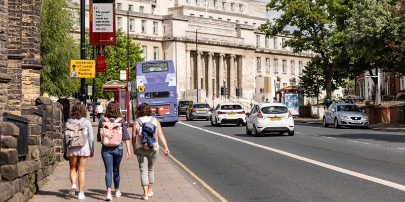
The University campus is a pleasant 20-minute walk from Leeds train station. Just use the following directions and you’ll be with us in no time at all.
Exit the station into City Square, with the Queens Hotel behind you and walk straight up Park Row. Continue up Park Row until you reach the first major junction. Cross straight over The Headrow and continue up Cookridge Street. At the next set of lights, go straight on passing Millennium Square on your left and Leeds City Museum on your right.
Turn left on to Woodhouse Lane, a busy main road. You’ll pass Leeds Beckett University on your left and you’ll see the start of our University campus in another 50 metres, on your left. To reach the Parkinson building, carry on up Woodhouse Lane to the clock tower building. You’ll be able to look at a map of campus there and plan where to go next.
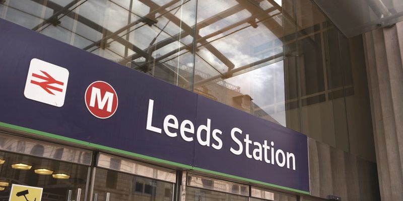
By train
Leeds train station is well connected to many major UK cities, including a fast and efficient London service. For train information and timetables visit National Rail Enquiries.
By bike
If you’re thinking about cycling to the University, we have secure bike racks and changing facilities.
For bike routes and information about cycling in the city, visit Leeds City Council cycling.
If you are visiting us by bike and have any questions or mechanical issues, the University Bike Hub can help. It also offers bike hire to staff and students.
By bus or coach
Leeds coach station is where most long-distance coaches arrive and leave the city. The main operators are National Express and Megabus. The coach station is right beside Leeds City bus station, where you can catch local buses to the University.
You can find local bus information and timetables from the following bus operators:
There’s also a Leeds CityBus that stops at the bus and train stations, and the southern end of campus (near the back of Leeds General Infirmary A&E) every 10 minutes from 6.30am to 7.30pm Monday to Saturday.
There’s a taxi rank outside the bus and coach station. A taxi to the University takes about 10 minutes.
Campus map
Find your way around the University with our interactive campus map.
You can download a printable campus map (PDF) or a large print version of the map's text portion (PDF).
You can also use an accessible alternative to the map.